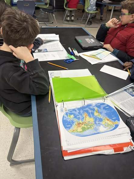
They were Asked to identify and label 3 specific physical features of one continent.
They Explored print resources and researched information of the features of their continent.
Students built their Model by adding labels and a key to their own physical map.
They Evaluated their work by verifying and gathering feedback on their work from group members.
Then all students Explained what they learned by adding labels of specific physical features to a class map. Once every group added the labels, they went through a day of iteration using teacher feedback.